Waterfalls in Russia: 5,287 waterfalls on the map
5,287 waterfalls in Russia on one map. Each has its point, how to get there and what is nearby: stopovers, campsites and trails.
Waterfalls in Russia on CAMPLY — 5,287 waterfalls. Famous cascades and small falls on streams alike: each has its point on the map, with places to stay and trails nearby.
- Updated 16 October
- Waterfalls in the country: 5,287
Waterfalls in Russia
Showing 24 of 5,287 — named and described first; all are on the map.
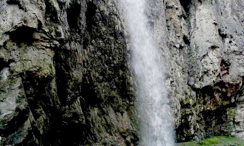
Medovyye Vodopady
Водопады в Карачаево-Черкесии России
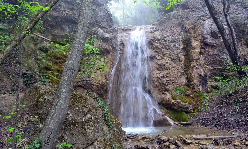
Uskut waterfalls
Водопады на реке Ускут
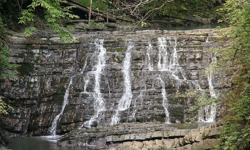
Zmeykovskiye Waterfalls
Туристический объект в Хостинском районе Сочи
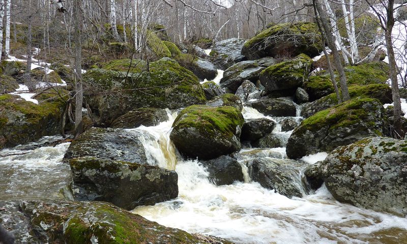
Mogak (Waterfall)
водопад в Абзелиовском районе Башкортостана
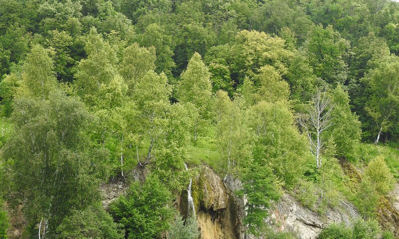
Abzan waterfall
водопад в Архангельском районе Башкортостана
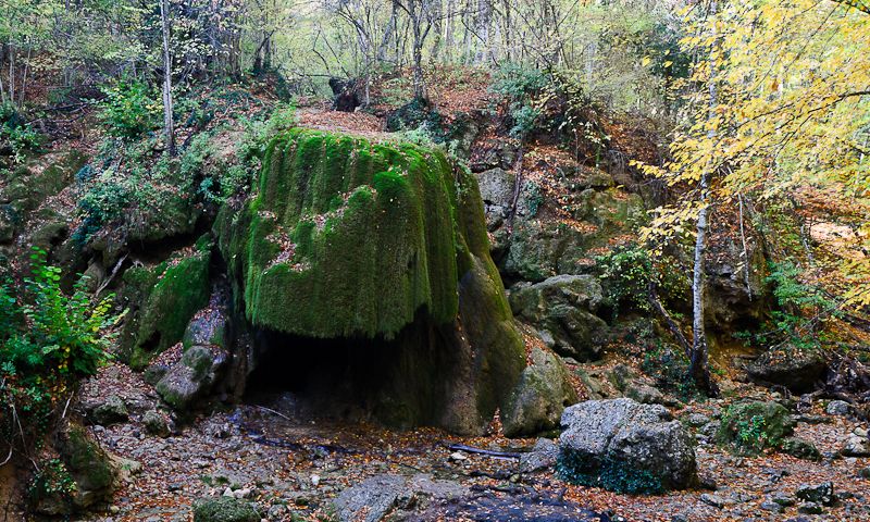
Silver streams
Silver Streams is one of Crimea's best-known waterfalls: the water used to spread in a broad fan off a moss-covered stone canopy, but the overhang collapsed in 2016 and the view changed. The place remains popular and lies close to the Grand Canyon routes. Cars are left by the Bakhchysarai-Yalta road near Sokolinoye, and the rest is on foot; there is noticeably more water in spring, and the stream thins by late summer.
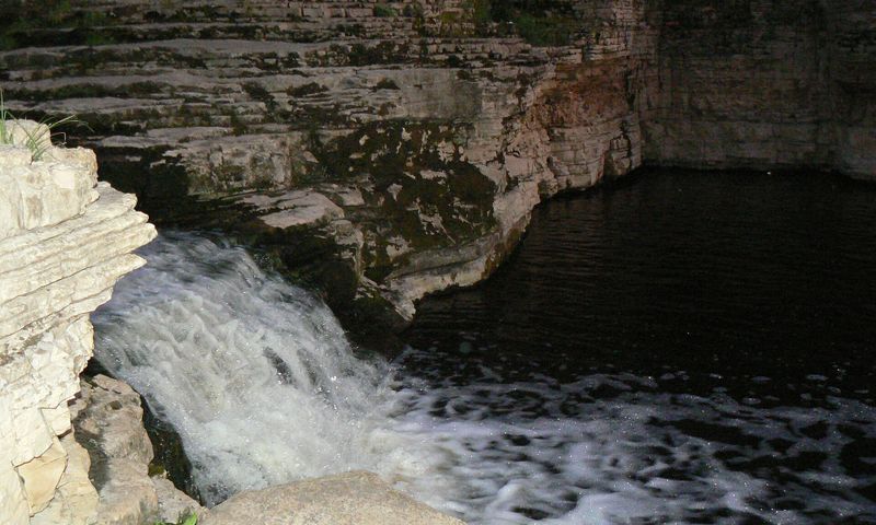
Kyuryulyur
Кюрюлюр — водопады на реке Менда в Хангаласском улусе, одно из самых известных природных мест в окрестностях Якутска. Летом сюда ездят купаться и отдыхать, есть оборудованная зона отдыха. Расположены на левом берегу Лены, так что при поездке из Якутска нужно учитывать переправу через реку.
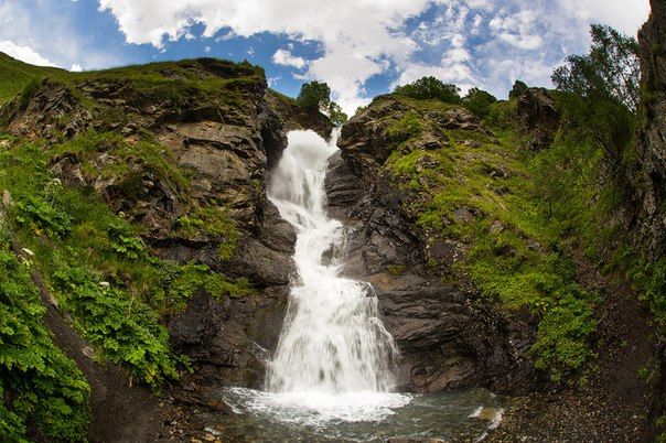
Galduridon
Galdoridon is a waterfall in the Digor Gorge of North Ossetia, within Alania National Park. Like the other glacier-fed waterfalls in these mountains, it is fullest in the warm season. Access is along the road up the gorge, then on foot along a mountain path.
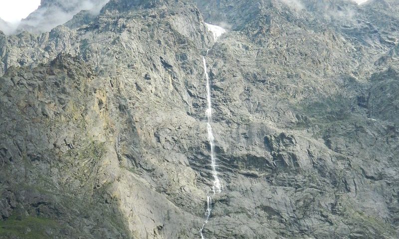
Zæjgælan
The Zeygalan waterfall drops from the rock wall of the Midagrabin valley and is among the highest in Russia. It is glacier-fed and seasonal: full in high summer, and almost gone by the cold weather. The road into the valley from the Karmadon direction is unsurfaced and broken up in places, heavy going for a low car. The valley is in the border zone — check the rules of passage and whether a permit is needed in advance.
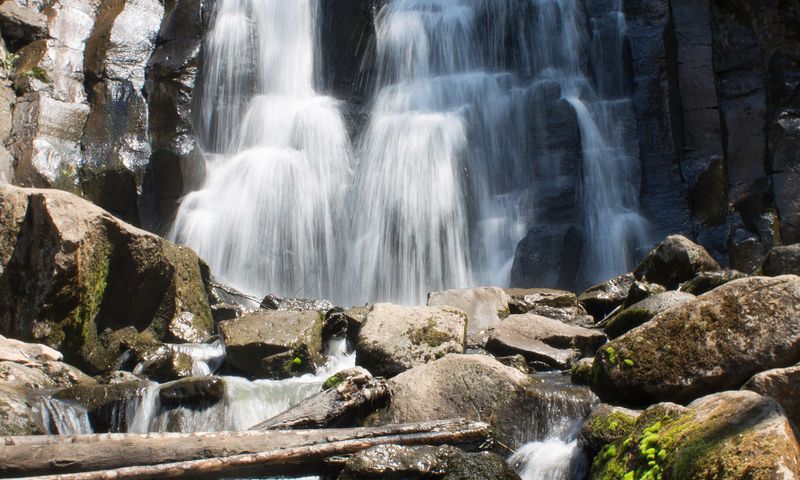
Waterfall on Left Gorbaty Spring
Водопад высотой 13 метров на ручье Левый Горбатов Ключ, притоке реки Стеклянухи; второе название — Горбатый. Самый высокий и самый посещаемый из водопадов Шкотовского плато, с 1987 года — памятник природы регионального значения. Место популярное у приморцев, обычно его смотрят вместе с соседними водопадами плато; последний участок пути проходят пешком.
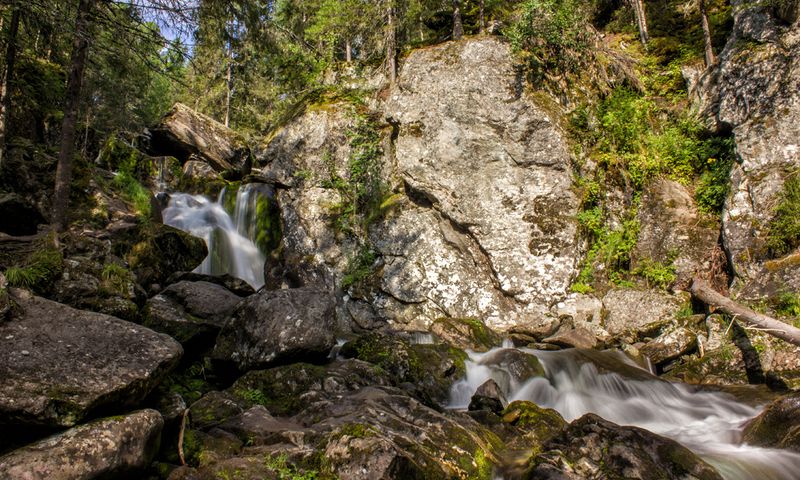
Zhigalan Waterfalls
The Zhigalan waterfalls are a cascade of rapids and falls on the River Zhigalan, running off the eastern slope of the Kvarkush ridge in the north of Perm Krai. The place is wild with almost no facilities, and there are campsites nearby and the start of the climb onto the Kvarkush plateau. People usually come from Sverdlovsk Region via Severouralsk: the road is long, unsurfaced and has fords, beyond an ordinary car or a motorhome — a properly equipped off-roader is needed. The best season is June to September.
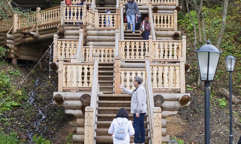
Gremyachy Waterfall
Вода выходит из расщелин на крутом склоне над рекой Вондигой и стекает каскадами; её температура держится около 6 °C круглый год. Место почитается как святой источник, связанный преданием с Сергием Радонежским: устроены деревянные лестницы, купальни и часовни. Едут сюда обычно от Сергиева Посада, последний участок дороги грунтовый — после дождей на низкой машине тяжело, машину оставляют на площадке у спуска.
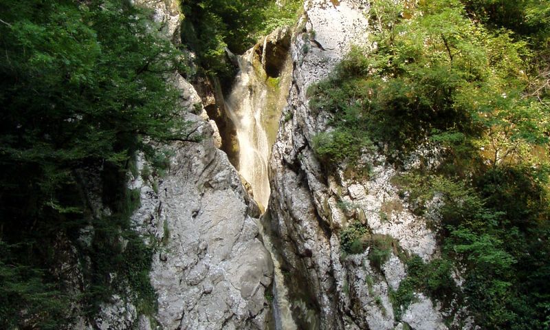
Agura Waterfalls
The Agura waterfalls are a popular walking route near Sochi: the path climbs the Agura gorge along the river past several tiers of falls. In spring and after rain the flow is powerful; in a dry summer the river can almost disappear. Cars are left in the car park at the mouth of the gorge, and the rest is on foot; the route has steps and climbs.
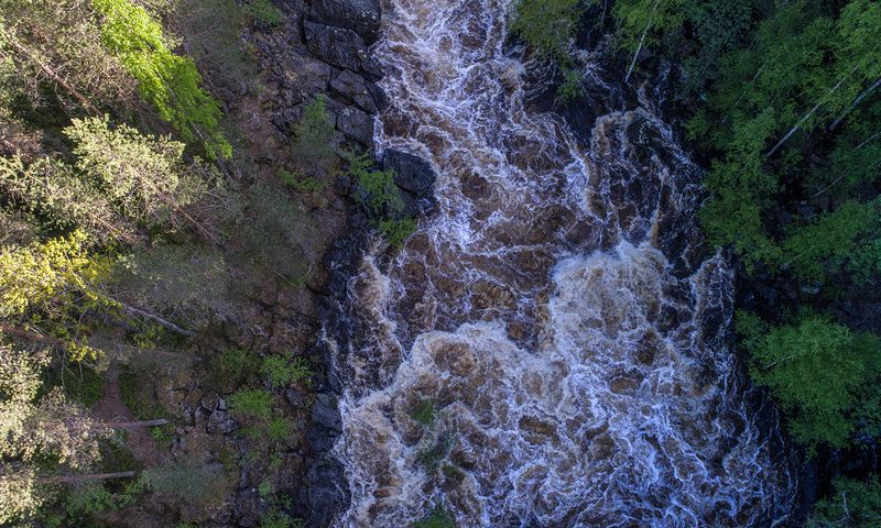
Hirvas
У посёлка Гирвас река Суна отведена плотиной, и её старое русло обнажило скальное ложе — здесь видны лавовые потоки древнего вулкана, возраст которых оценивают почти в два миллиарда лет. Водопад в каньоне бывает не всегда: вода идёт только при сбросе с плотины, в остальное время русло сухое, и по нему можно ходить. Место прямо у трассы на Медвежьегорск, с парковкой и лестницей вниз.
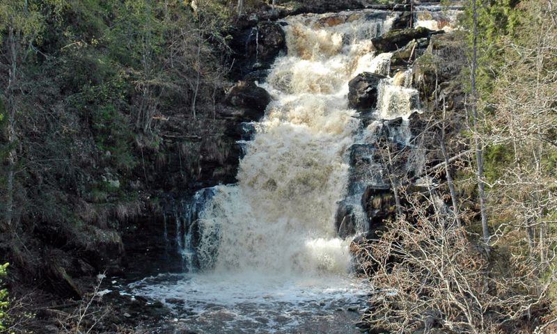
Belye Mosty Waterfall
Юканкоски, он же Белые мосты, — водопад высотой около 18 метров на реке Кулисмайоки, один из самых высоких в Карелии. Вода падает со скального уступа в лесном ущелье, рядом есть вторая, меньшая ступень. Подъезд с трассы Питкяранта-Леппясилта: последние километры — лесная грунтовка с камнями и лужами, на низкой легковой машине лучше оставить её на подходе и дойти пешком.
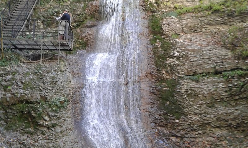
Nikhaloy waterfalls
The Nikhaloy waterfalls are several falls on a right tributary of the Chanty-Argun near the village of Nikhaloy. The smallest drop is about two metres, the highest 32 metres. Staircases and walkways have been built for climbing alongside the cascade, and a tourist complex with a café and hotel operates nearby. The site is right by the road up the Argun gorge; a medieval fighting tower survives not far away.
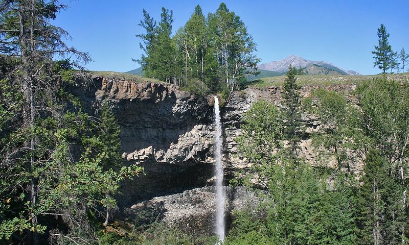
Baga-Zjombolok
Maly Zhombolok drops twenty metres into the canyon of the Oka Sayanskaya: the narrow Baga-Zhombolok channel runs across frozen lava fields and breaks off in a waterfall. Local people regard it as a sacred place, and a burkhan pavilion stands above it. The area around the falls has been landscaped and can be reached in an ordinary car.
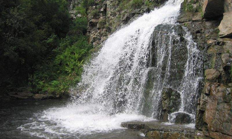
Kamyshlinsky Waterfall
The Kamyshla waterfall is two-tiered, not tall but heavy with water; a popular short walk on the Chuya route. A path of about two kilometres leads to it from the Katun, and there is also the option of crossing the river by suspension bridge from the holiday bases. Cars are left by the highway or in a base's car park, and the rest is on foot.
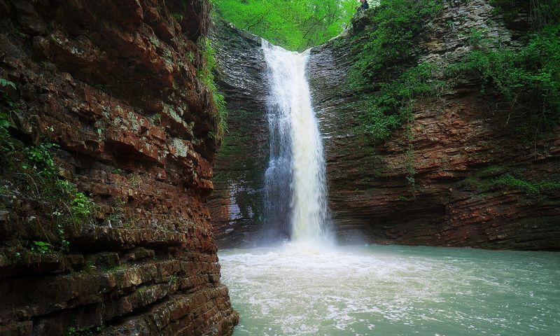
Falls Creek Rufabgo
The Rufabgo stream joins the Belaya at Kamennomostsky (Khadzhokh), and a tourist path runs up its gorge past several waterfalls, the best known being Shum. The route is not difficult but has staircases and climbs, and entry is paid. Cars are left in the bay by the highway; from there it is on foot only. After heavy rain the water is muddy and the path slippery.
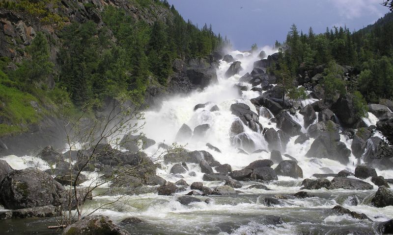
Uchar waterfall
The waterfall was formed by a rockfall about a century and a half ago: the water tumbles over a jumble of huge blocks. There is no road — first by boat across Lake Teletskoye, then a footpath of about eight kilometres along the cliffs, with rope handrails in places. A reserve permit and reasonable fitness are needed.
Waterfall 16m
Трехкаскадный водопад, выше ходить опасно!
Rapids finskoy melnitsy XIX veka
Живописные шумные пороги на лесном ручье. На карте 1855 года здесь отмечена мельница.
Cheremisovskie waterfalls
Черемисовские водопады — цепочка небольших водопадов и каменных ванн в ущелье, вдоль которой проложена оборудованная тропа с лестницами. Вход на территорию платный. Полноводнее всего весной и после дождей, в разгар лета воды мало. Рядом — Белая скала (Ак-Кая), их обычно смотрят в одну поездку; подъезд по асфальту с последним участком по сельской дороге.
Don Falls
The Don, or Volchensk, waterfalls are near the village of Uglerodovsky in Rostov Region, on the site of the former Zamchalovsky quarry. Two of the cascades have their own names — Braids and Two Tears. The place is man-made in origin and popular with locals at weekends. There are no facilities, and the last stretch is a dirt road, so it is best avoided in a low motorhome after rain.
What each waterfall has
A point on the map
Exactly where the water falls — and how to drive or walk there.
Where to stay
Stopovers and campsites near the waterfall — from community points.
Trails nearby
Hiking routes that pass the waterfall or start close to it.
Weather
Forecast at the point: falls run fuller after rain and freeze in frost.